MESH Ad Hoc Network In Emergency Rescue
In the realm of emergency rescue, the implementation of a robust Multi-hop Ad Hoc Network system has revolutionized disaster response technology. This innovative decentralized scheduling algorithm enables direct communication between networked radio stations without central dispatch, enhancing antidestruction capability and resource utilization rates to unprecedented levels. The network supports voice calls, video calling, multimedia messaging, air-ground stereo reconnaissance, and situation sharing among soldiers and headquarters, ensuring seamless coordination during critical operations.
One of the most transformative applications of this technology is in the BVLOS drone rescue network (Beyond Visual Line Of Sight), which leverages aerial drones for global bird’s-eye view reconnaissance using visible and infrared light. These UAVs are equipped with automatic flight control capabilities, allowing one-touch takeoff, landing, and route planning. They operate in beyond visual range environments, utilizing multiple drone signal relays to extend their operational reach. This not only facilitates real-time aerial surveillance but also establishes dedicated links that are less susceptible to interference due to dedicated network frequency bands.
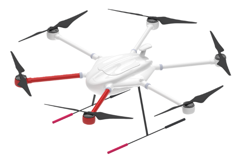
The integration of a multi-drone coordinate system within this framework significantly enhances disaster rescue efficiency. It allows for the synchronization of rotary drones like the HD160 model, capable of flying up to 90 minutes with a payload capacity of 7 kg, and operating at speeds reaching 36 km/h. Such drones can be deployed in coordinated missions to cover vast areas quickly, providing comprehensive situational awareness to ground teams and command centers alike.
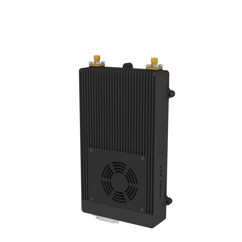
Moreover, the ground station, designed for quick assembly and disassembly, automatically networks with DJI M300, M350, and other drone-mounted radios as well as individual soldier backpack radios. This achieves beyond-visual-range air-to-ground collaborative command and communication networks, supporting remote flight control, route planning, pod control, and real-time viewing of aerial videos of drones. The flight control software, tailored for BVLOS operations, ensures that all drones are monitored effectively through features such as UAV flight status checks, location and map views, and real-time video viewing.
In addition to hardware advancements, the dispatching software supporting PC and three screens plays a pivotal role in managing complex rescue operations. It facilitates full-duplex and half-duplex voice calls, two-way video calls, instant messaging, GIS applications, and monitoring the battery power of all network devices. The ability to stream data to the cloud and allow real-time viewing by the command center further enhances decision-making processes during emergencies.
In conclusion, the amalgamation of MESH networks, BVLOS drone rescue networks, and multi-drone coordinate systems represents a significant leap forward in emergency rescue and disaster relief strategies. By leveraging these advanced technologies, rescue operations can now achieve higher levels of efficiency, accuracy, and reliability, ultimately saving more lives and mitigating damages in crisis situations.

Applicable Products

Rotary Drone HD160


