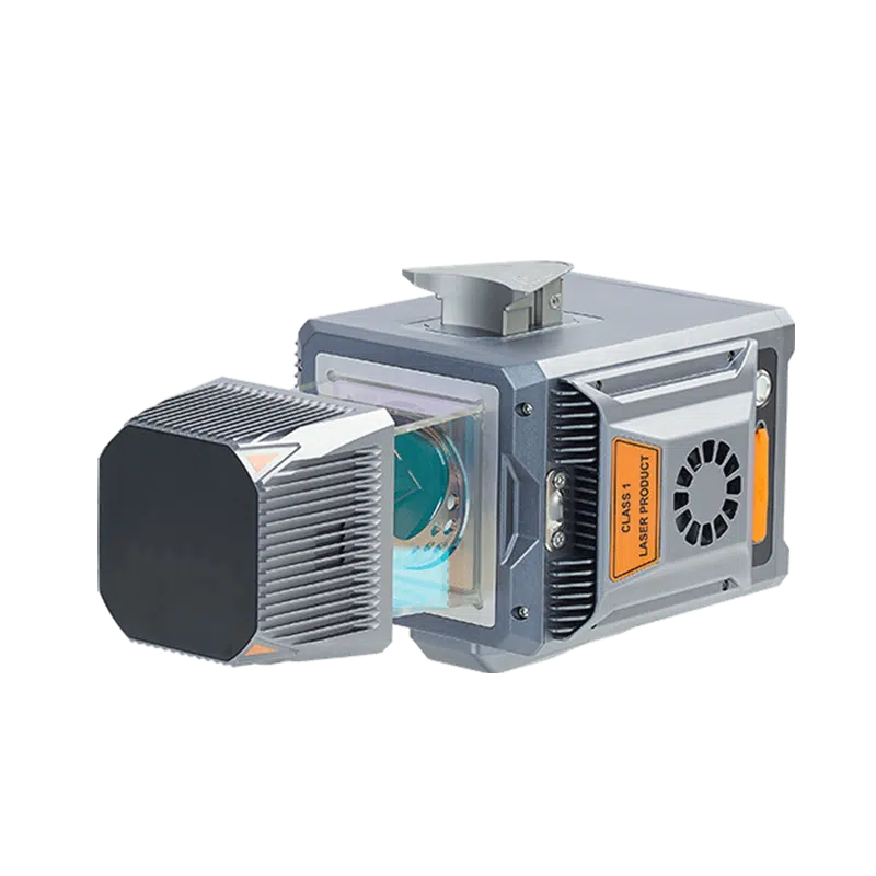
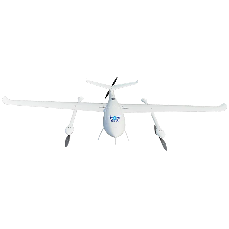
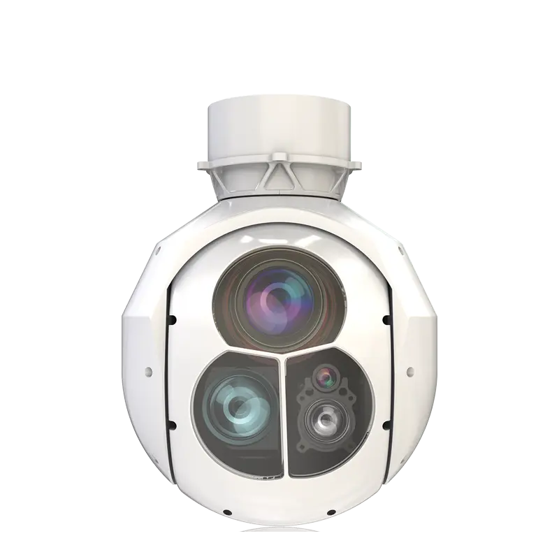
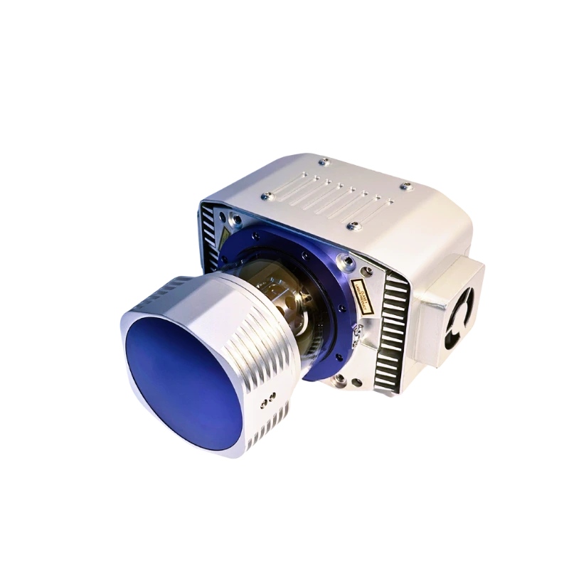
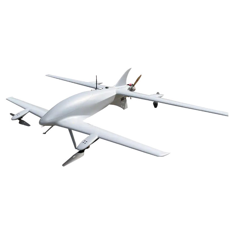
Specifications
| General system performance | |||||||||
|---|---|---|---|---|---|---|---|---|---|
| Absolute Hz & V accuracy | <0.025 m RMS @ 30 m range < 0.050 m RMS @ 150 m range |
||||||||
| Accuracy conditions | Without control points, UAV survey with 7 m/s speed, car survey without DMI with 9.7 m/s speed | ||||||||
| Mounting | Multi-platform, quickly install & release design, easily switch between airborne, vehicle and backpack mode | ||||||||
| SLAM | AlphaPano vehicle installation platform which includes panoramic camera and SLAM scanner integration for optimized position in challenging trajectory environments | ||||||||
| Weight of instrument | 2.82 kg / 3.12 kg (with C5 camera) 10.97 kg AlphaPano vehicle platform |
||||||||
| Dimensions of instrument | 262.3 x 141.5 x 161 mm | ||||||||
| Data storage | 512 G (Optional for 1 T) | ||||||||
| Coping speed | 80 Mb/s | ||||||||
| Positioning and orientation system | |||||||||
| GNSS system | Multiple GPS, GLONASS, Galileo, BeiDou, SBAS, and QZSS constellation, L-Band | ||||||||
| IMU update rate | 600 Hz | ||||||||
| Attitude accuracy after post-processing | 0.005° RMS pitch/roll 0.010° RMS heading |
||||||||
| Position accuracy after post-processing | 0.010 m RMS horizontal 0.020 m RMS vertical |
||||||||
| Imaging system UAV | |||||||||
| Resolution | 45 MP | ||||||||
| Focal length | 21 mm / 35 mm | ||||||||
| Sensor size | 36 mm x 24 mm (8184 x 5460) | ||||||||
| Pixel size | 4.4 um | ||||||||
| Min photoing interval | 1 s | ||||||||
| FOV | 81.2*59.5 / 53.4*37.8 | ||||||||
| Airborne optional camera setup | Calibrated Sony 7 RIV (7952 x 5304, 61 MP, 10 fps) | ||||||||
| AlphaPano Imaging system | |||||||||
| Camera type | 360° Spherical camera, additional adjustable external cameras as option | ||||||||
| Number of cameras | 6 sensors | ||||||||
| CCD size | 2048 x 2448, 3.45 um pixel size | ||||||||
| Lens | 4.4 mm | ||||||||
| Resolution | 30 MP (5 MP x 6 sensors), 10 FPS JPEG compressed | ||||||||
| Coverage | 90% of full sphere | ||||||||
| High Dynamic Range (HDR) | Cycle 4 gain and exposure presets | ||||||||
| Dimensions of AlphaPano | 530 x 214.5 x 592 mm (With installed AU20) | ||||||||
| Electrical | |||||||||
| Input voltage | 24 V (Range 15 - 27 V) | ||||||||
| Power consumption | 60 W | ||||||||
| Power source | Depending on UAV battery. External battery for car setup, also supports direct vehicle power source | ||||||||
| Equipped software | |||||||||
| CoPre Intelligent Processing SW | Data copy, POS process, Adjust & Refine, Generate point cloud | ||||||||
| CoProcess Efficient Feature Extraction SW | Terrain module, Road module, Volume module | ||||||||
| Environmental | |||||||||
| Operating temperature | -20 °C to +50 °C | ||||||||
| Storage temperature | -20 °C to +65 °C | ||||||||
| IP rating | IP64 | ||||||||
| Humidity (operating) | 80%, non-condensing | ||||||||
| Laser scanner | |||||||||
| Laser product classification | Class 1 (in accordance with IEC 60825-1:2014) | ||||||||
| Laser pulse repetition rate PRR | 100 kHz | 200 kHz | 300 kHz | 400 kHz | 500 kHz | 800 kHz | 1 MHz | 1.5 MHz | 2 MHz |
| Max. range, @ρ >80% | 1450 m | 1320 m | 1220 m | 1120 m | 1000 m | 790 m | 706 m | 576 m | 500 m |
| Max. range, @ρ >20% | 750 m | 660 m | 610 m | 560 m | 500 m | 395 m | 353 m | 288 m | 250 m |
| Max. Operating Flight Altitude AGL, @ρ >20% | 530 m | 467 m | 431 m | 396 m | 354 m | 354 m | 279 m | 204 m | 177 m |
| Minimum range | 1.5 m | ||||||||
| Accuracy | 15 mm (1σ, @ 150 m range), 5 mm (1σ, @ 30 m range) | ||||||||
| Precision | 5 mm (1σ, @ 150 m) | ||||||||
| Multi-Period capability | Up to 7 zones | ||||||||
| Field of view | 360°, selectable | ||||||||
| Scanning mechanism | Rotating mirror | ||||||||
| Max. effective measurement rate | 2,000,000 meas./sec (depending on the mode) | ||||||||
| Scan speed (selectable) | 10-200 scans/sec | ||||||||
| Return numbers | Up to 16 | ||||||||
| Angular resolution | 0.001° | ||||||||
